At times, you want to show your data on a visual map but you do need to customize the map and deviate from the real world layout.
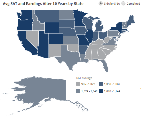
For example, you need to show the US by states and you don’t want to have Alaska displayed next to Canada because it will consume a lot of space on your map. Instead, you want to place Alaska at the bottom left of your map:
With custom Esri shape files, you have the option to create whatever map layout you need or find existing maps that are already customized to the way you need it.
To customize maps and generate Esri files on your own you can also use free third-party application such as QGIS. This tool lets save/export new shapefile as required before adding those into Dundas BI.
For more information on this, check out the following link: