If you use the Map Control in Dundas BI, you can bring in additional detail called ‘base maps’ to add more depth to your data visualizations. Sometimes you don’t want to create dull and flat dashboards, and this feature certainly makes your dashboards more interesting. Try this technique if you’re going to make your plain boring maps pop a bit!
Learn More About Business Intelligence Maps in Dundas BI:
https://www.dundas.com/resources/off-the-charts-tips-from-an-expert/getting-started-with-dundas-bi/what-can-you-do-with-the-map-in-dundas-bi
Each of these map providers can be fed properties into the base URL from Dundas BI. If you are playing with any of these and if you find anything interesting, please share them! There’s a lot of potential here that I believe we are ignoring as a community.
Here are some supported options that I’ve discovered with screenshots:
NatGeo_World_Map

USA_Topo_Maps

World_Imagery

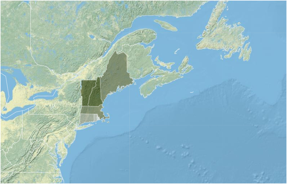
World_Physical_Map
World_Shaded_Relief

World_Street_Map

World_Terrain_Base

I also have a full video that walks through some of the many features in the map control… there’s a lot!
https://www.dundas.com/resources/off-the-charts-tips-from-an-expert/getting-started-with-dundas-bi/what-can-you-do-with-the-map-in-dundas-bi
If you’d like to learn more, I’d recommend you go to my learning channel - Off the Charts (with Jeff).
https://www.dundas.com/resources/off-the-charts-tips-from-an-expert